 |
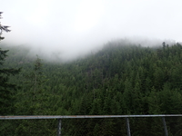
| Over 100F earlier this week and these are the views I expect? |
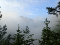 |
| At Ravens Roost, clouds up to at least 2000ft |
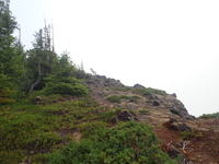 |
| North ridge, great views of the highway |
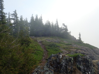 |
| Fire pit and camp bench out here |
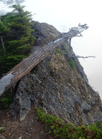 |
| The approach is a bit narrow |
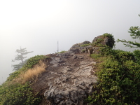 |
| Hall Point, 2700ft still in the clouds |
 |
| Sunburnt trees |
 |
| Pika, boulder slope 200m past Hall Point junction |
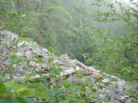 |
| Pika, 2650ft elevation |
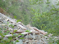 |
| Pika, rather low altitude given the average annual heat |
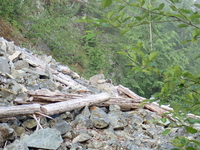 |
| Pika, happy it survived the 115F weather |
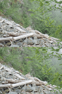 |
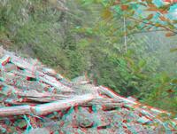
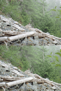
| (3dwiggle) Pika, boulder slope 200m past Hall Point junction |
 |
| (3dlr) Pika, boulder slope 200m past Hall Point junction |
 |
| (3danaglyph) Pika, boulder slope 200m past Hall Point junction |
 |
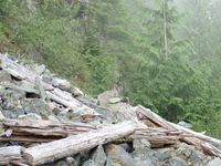
| (3dwiggle) Pika |
 |
| (3dlr) Pika |
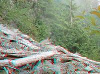 |
| (3danaglyph) Pika |
 |
| Pika! |
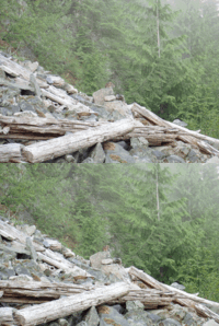 |
| (3dwiggle) Pika |
 |
| (3dlr) Pika |
 |
| (3danaglyph) Pika |
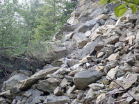 |
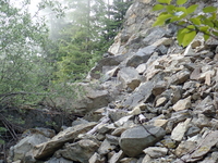
| Pika, Js Landing, elevation 2860ft |
 |
| Pika |
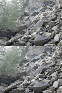 |
| (3dwiggle) Pika |
 |
| (3dlr) Pika |
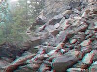 |
| (3danaglyph) Pika |
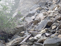 |
| Pika! |
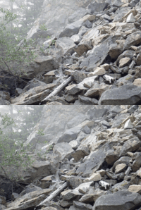 |
| (3dwiggle) Pika |
 |
| (3dlr) Pika |
 |
| Js Landing |
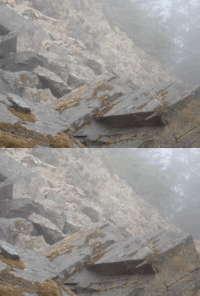 |
| (3dwiggle) Pika hiding in the fog |
 |
| (3dlr) Pika hiding in the fog |
 |
| (3danaglyph) Pika hiding in the fog |
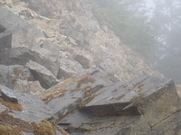 |
| Js Landing, find the pika |
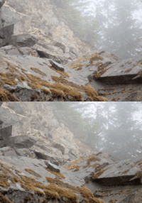 |
| (3dwiggle) Pika hiding in the fog |
 |
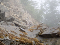
| (3dlr) Pika hiding in the fog |
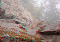 |
| (3danaglyph) Pika hiding in the fog |
 |
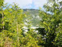
| Js Landing, find the pika |
 |
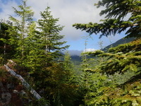
| Finally getting about the clouds and fog at 3300ft |
 |
| Dark clouds |
 |
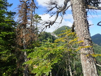
| Finally above the clouds at 3480ft |
 |
| Still a long way to go above 3620ft |
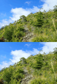 |
| (3dwiggle) Approaching Easter Island |
 |
| (3dlr) Approaching Easter Island |
 |
| (3danaglyph) Approaching Easter Island |
 |
| Approaching Easter Island |
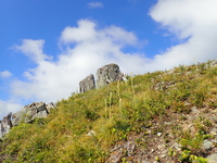 |
| Easter Island |
 |
| Above Easter Island |
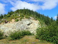 |
| Can you see the trail up? |
 |
| "Hall Peak", but too many clouds to see Pilchuck/Glacier/Rainier really well today |
 |
| Chester Morse Lake |
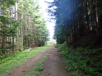 |
| The nicest spot of the trip despite the mosquitos: Shade and 55F |
 |
| Great Wall Trail, showing the ridge I ascended |
 |
| Maybe two more... |
Return to the home of Spike and Kage
Find similar pictures in the comment cross reference
Copyright 2016--2037, Brian Blackmore.