 |
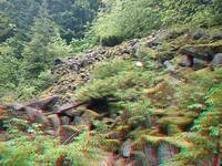
| (3danaglyph) Yay snow! |
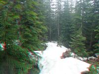 |
| (3danaglyph) Yay snow! |
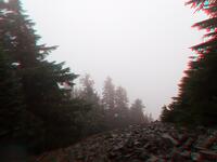 |
| (3danaglyph) Summit west |
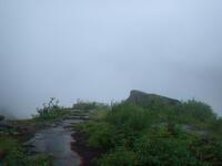 |
| (3danaglyph) Birdhouse view |
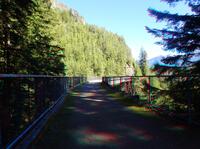 |
| (3danaglyph) Bridge |
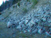 |
| (3danaglyph) Lots of places for pikae to hide! |
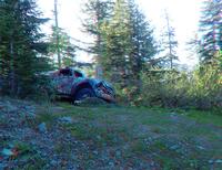 |
| (3danaglyph) Truck |
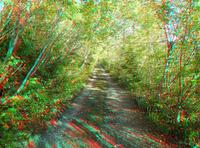 |
| (3danaglyph) Some time on the road |
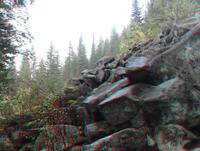 |
| (3danaglyph) Spike and Kage play in the boulders |
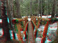 |
| (3danaglyph) Reinforced bridge |
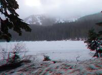 |
| (3danaglyph) Spike and Kage enjoy the snow |
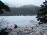 |
| (3danaglyph) Spike and Kage enjoy the snow |
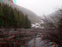 |
| (3danaglyph) Talapus |
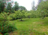 |
| (3danaglyph) Orchard |
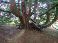 |
| (3danaglyph) Tree |
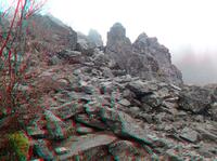 |
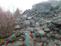
| (3danaglyph) Spike and Kage enjoy the cold humidity |
 |
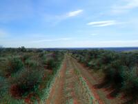
| (3danaglyph) Spike and Kage enjoy the cold humidity |
 |
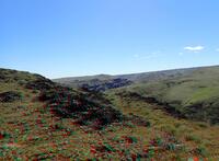
| (3danaglyph) The road goes on... and on... |
 |
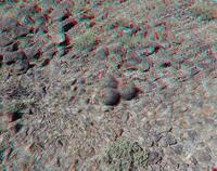
| (3danaglyph) Spike and Kage brave the overheated Horn |
 |
| (3danaglyph) Cactus |
 |
| (3danaglyph) The Columbia River appears |
 |
| (3danaglyph) Junk atop Cape Horn |
 |
| (3danaglyph) Spike and Kage demonstrate the magnitude of loneliness that is the rock |
 |
| (3danaglyph) Fuzzy tree! |
 |
| (3danaglyph) Snow shelves |
 |
| (3danaglyph) Spike and Kage |
 |
| (3danaglyph) Spike and Kage |
 |
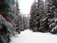
| (3danaglyph) Gold Creek pond |
 |
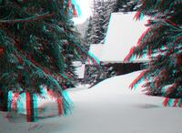
| (3danaglyph) A ridge becomes visible |
 |
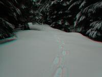
| (3danaglyph) Liked the 3d depth of this view |
 |
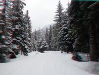
| (3danaglyph) Fresh snow |
 |
| (3danaglyph) Toward the east ridge |
 |
| (3danaglyph) Down the road |
 |
| (3danaglyph) Kachess Lake |
 |
| (3danaglyph) Just waiting for the snow to slide |
 |
| (3danaglyph) Kachess campground |
 |
| (3danaglyph) View of north Keechelus Ridge |
 |
| (3danaglyph) View of north Keechelus Ridge |
 |
| (3danaglyph) Waterfall |
 |
| (3danaglyph) Morning road |
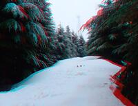 |
| (3danaglyph) Spike and Kage phone home |
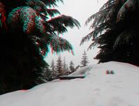 |
| (3danaglyph) Spike and Kage needed raincoats |
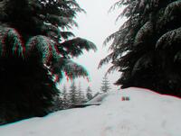 |
| (3danaglyph) Spike and Kage needed raincoats |
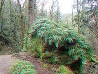 |
| (3danaglyph) Fuzzy rock |
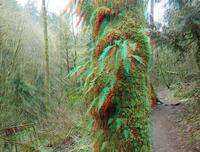 |
| (3danaglyph) Fuzzy tree |
 |
| (3danaglyph) Viewpoint |
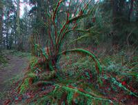 |
| (3danaglyph) Fuzzy tree |
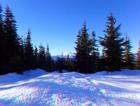 |
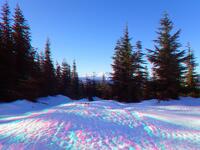
| (3danaglyph) Microwave Hill |
 |
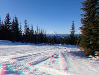
| (3danaglyph) Microwave Hill |
 |
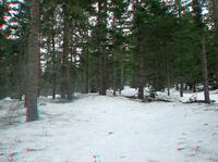
| (3danaglyph) Microwave Hill |
 |
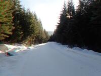
| (3danaglyph) Forest trail |
 |
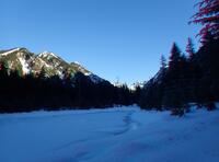
| (3danaglyph) Southern groomed road |
 |
| (3danaglyph) H pond |
 |
| (3danaglyph) Avalanche road toward Rampart Ridge |
 |
| (3danaglyph) North from avalanche road |
 |
| (3danaglyph) Avalanche road, nice flowing bumpy snow |
 |
| (3danaglyph) Rampart Ridge |
 |
| (3danaglyph) Rocks |
 |
| (3danaglyph) Brian |
 |
| (3danaglyph) nf4930 |
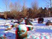 |
| (3danaglyph) Look a migrating goose! |
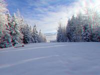 |
| (3danaglyph) Snoqualmie Point Park |
 |
| (3danaglyph) Spike and Kage on the road |
 |
| (3danaglyph) Up a hill the road goeth |
 |
| (3danaglyph) Even the road had low trees |
 |
| (3danaglyph) Place to sit under the rock |
 |
| (3danaglyph) John Wayne Trail |
 |
| (3danaglyph) John Wayne Trail |
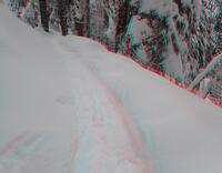 |
| (3danaglyph) Nice surface from snowshoes |
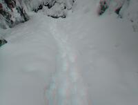 |
| (3danaglyph) What happens with stupid boots |
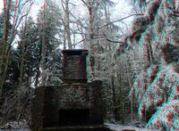 |
| (3danaglyph) Fireplace |
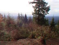 |
| (3danaglyph) Viewpoint |
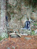 |
| (3danaglyph) Drinking spot |
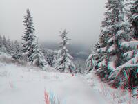 |
| (3danaglyph) Summit, south |
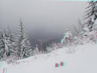 |
| (3danaglyph) Summit, north |
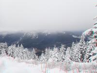 |
| (3danaglyph) Summit, south |
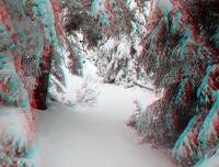 |
| (3danaglyph) Getting around the lake |
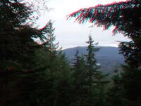 |
| (3danaglyph) Rattlesnake from the OWL |
 |
| (3danaglyph) Rainier |
 |
| (3danaglyph) Radio Tower |
Return to the home of Spike and Kage
Find similar pictures in the comment cross reference
Copyright 2016--2037, Brian Blackmore.