 |
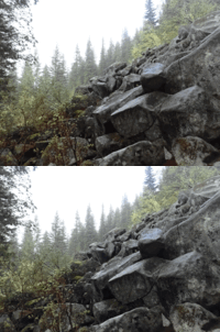
| (3dwiggle) Spike and Kage play in the boulders |
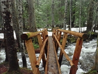 |
| Reinforced bridge |
 |
| (3danaglyph) Reinforced bridge |
 |
| (3dlr) Reinforced bridge |
 |
| (3dwiggle) Reinforced bridge |
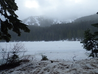 |
| Spike and Kage enjoy the snow |
 |
| (3danaglyph) Spike and Kage enjoy the snow |
 |
| (3dlr) Spike and Kage enjoy the snow |
 |
| (3dwiggle) Spike and Kage enjoy the snow |
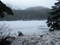 |
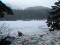
| Spike and Kage enjoy the snow |
 |
| (3danaglyph) Spike and Kage enjoy the snow |
 |
| (3dlr) Spike and Kage enjoy the snow |
 |
| (3dwiggle) Spike and Kage enjoy the snow |
 |
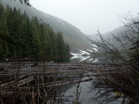
| Olallie |
 |
| Talapus |
 |
| (3danaglyph) Talapus |
 |
| (3dlr) Talapus |
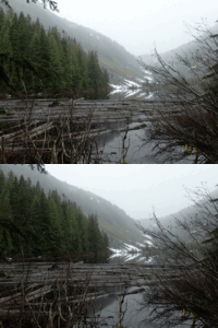 |
| (3dwiggle) Talapus |
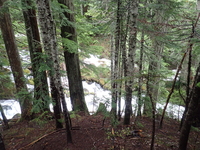 |
| Olallie outflow |
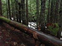 |
| Olallie outflow |
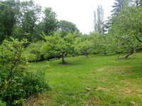 |
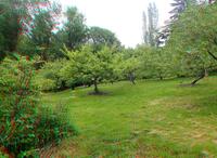
| Orchard |
 |
| (3danaglyph) Orchard |
 |
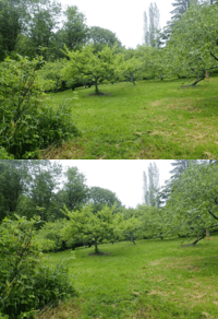
| (3dlr) Orchard |
 |
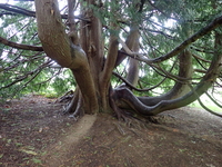
| (3dwiggle) Orchard |
 |
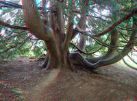
| Tree |
 |
| (3danaglyph) Tree |
 |
| (3dlr) Tree |
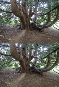 |
| (3dwiggle) Tree |
 |
| Oort |
 |
| Carkeek beach |
 |
| Oort |
 |
| Nice forest, even if it was a bit fuzzy to the south-southwest |
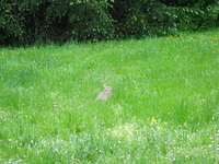 |
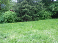
| Bunny |
 |
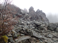
| Bunny |
 |
| Spike and Kage enjoy the cold humidity |
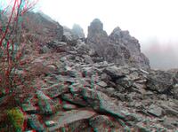 |
| (3danaglyph) Spike and Kage enjoy the cold humidity |
 |
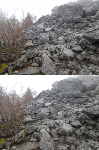
| (3dlr) Spike and Kage enjoy the cold humidity |
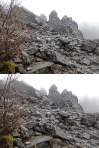 |
| (3dwiggle) Spike and Kage enjoy the cold humidity |
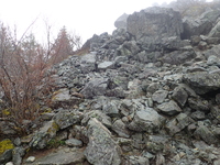 |
| Spike and Kage enjoy the cold humidity |
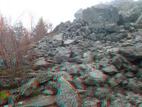 |
| (3danaglyph) Spike and Kage enjoy the cold humidity |
 |
| (3dlr) Spike and Kage enjoy the cold humidity |
 |
| (3dwiggle) Spike and Kage enjoy the cold humidity |
 |
| 80F next week, but rainy here and 40F dropping to 30F in the next few hours! |
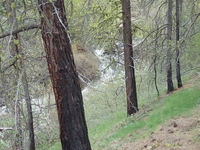 |
| Stayed above Tekison Creek the last evening, good sleeping / white noise |
 |
| Drove out over the rough stuff to avoid unsafe rain conditions the following day; stayed here about 30min from the paved road |
 |
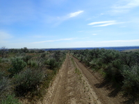
| The long road back north, Cape Horn still in the distance at left |
 |
| The road goes on... and on... |
 |
| (3danaglyph) The road goes on... and on... |
 |
| (3dlr) The road goes on... and on... |
 |
| (3dwiggle) The road goes on... and on... |
 |
| Uncertain what structure this might have been, perhaps a house |
 |
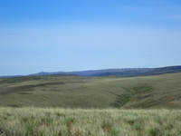
| Now south of the Ancient Lakes valley, across from Dusty Lake |
 |
| I90 Wind farm |
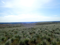 |
| The two main valleys of Ancient Lakes in the distance, with the three large shiny upper lakes, approximately 10deg south of east from my position |
 |
| Looking north at Cape Horn |
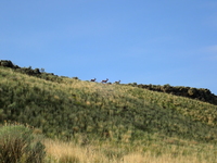 |
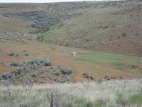
| They went fifteen feet downhill and stood waiting for 15min until I hit a switchback heading toward them before they fled |
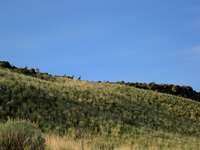 |
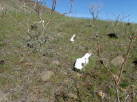
| The local wildlife took an interest in me |
 |
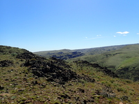
| That summarizes the weather |
 |
| Spike and Kage brave the overheated Horn |
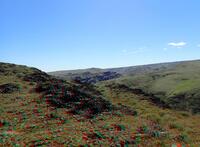 |
| (3danaglyph) Spike and Kage brave the overheated Horn |
 |
| (3dlr) Spike and Kage brave the overheated Horn |
 |
| (3dwiggle) Spike and Kage brave the overheated Horn |
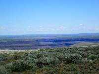 |
| Ancient Lakes area, Lake Quincy, &c |
 |
| View from Cape Horn into the two valleys hiked last year, Horse Canyon / Stray Gulch, Tarpiscan Creek |
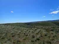 |
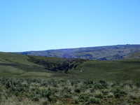
| Anaximander rests on Cape Horn (showing the actual distance) |
 |
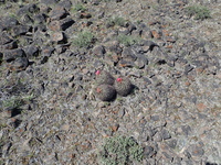
| Anaximander rests on Cape Horn |
 |
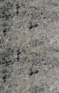
| Cactus |
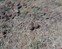 |
| (3danaglyph) Cactus |
 |
| (3dlr) Cactus |
 |
| (3dwiggle) Cactus |
 |
| Colockum Wildlife Area north half, the road to Cape Horn at left, both draws/ridges in the middle had to be driven around, headquarters above the Columbia |
 |
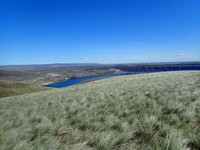
| Quincy, Crescent Bar, Ancient Lakes, Anaximander (just a dot) |
 |
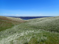
| Columbia River, Crescent Bar, Trinidad, Quincy |
 |
| Columbia River, and the town of Crescent Bar |
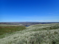 |
| The Columbia River appears |
 |
| (3danaglyph) The Columbia River appears |
 |
| (3dlr) The Columbia River appears |
 |
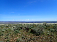
| (3dwiggle) The Columbia River appears |
 |
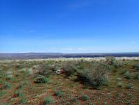
| Junk atop Cape Horn |
 |
| (3danaglyph) Junk atop Cape Horn |
Return to the home of Spike and Kage
Find similar pictures in the comment cross reference
Copyright 2016--2037, Brian Blackmore.