
 |
| Snoqualmie, Guye, I90 |
 |
| Mt Margaret summit view |
 |
| Red Mountain, Snoqualmie, Guye |
 |
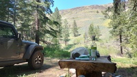
| NEW Thompson Lake |
 |
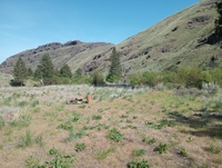
| NEW Second overnight |
 |
| NEW First overnight |
 |
| Very wide views from the central road, Rainier, Keechelus, Kachess |
 |
| Microwave Hill south |
 |
| Turkey Spot, rainier behind trees under lenticular cloud |
 |
| Pilchuck summit view |
 |
| Pratt Lake valley |
 |
| The i90 valley spread below Bandera |
 |
| Mailbox Peak summit toward Rattlesnake/MtSi |
 |
| Mailbox Peak summit toward Rainier |
 |
| The ice caves are snowy |
 |
| Approaching the ice caves |
 |
| Turkey spot |
 |
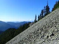
| Mt Washington view of the Mt Si/Teneriffe range |
 |
| Rainier from hidden spot |
 |
| Rainier from Silver Peak |
 |
| Defiance panorama |
 |
| Mason Lake, Lake KK, Bandera, Pratt |
 |
| Chester Morse Lake |
 |
| Mt Washington view of: Mt Si, Blowdown, Teneriffe, etc.; Mailbox Peak |
 |
| Great Wall trail, Hall Point/Peak; Zigzag; McClellan Butte |
 |
| Baker Lake |
 |
| Spike and Kage at the viewpoint |
 |
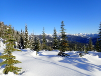
| Kachess Lake south |
 |
| North |
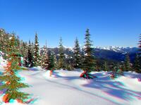 |
| (3danaglyph) North |
 |
| (3dlr) North |
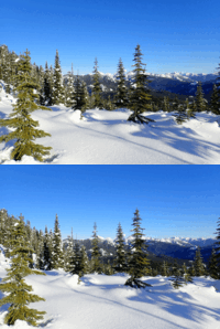 |
| (3dwiggle) North |
 |
| Northeast Keechelus Ridge |
 |
| Rattlesnake third ledge |
 |
| Rattlesnake Ledge at sunrise |
 |
| Kachess Lake |
 |
| McClellan summit view |
 |
| Mt Defiance, McClellan Butte, Bandera; Lake Kulla Kulla, Rainbow Lake, Island Lake |
 |
| Pratt Summit, Granite Mt, Bandera Mt, Island Lake, Pratt Lake |
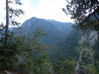 |
| Preacher |
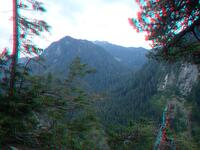 |
| (3danaglyph) Preacher |
 |
| (3dlr) Preacher |
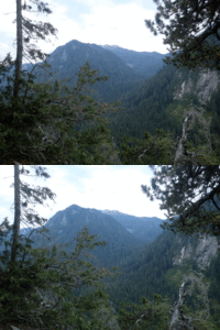 |
| (3dwiggle) Preacher |
 |
| Steggy summit, Preacher, valley to Rainy Lake |
 |
| Pulpit, Ravensbeak |
 |
| Garfield Mountain |
 |
| Gold Creek Pond |
 |
| Kachess Lake |
 |
| Snoqualmie Point Park viewpoint shelter |
 |
| Snoqualmie Point Park |
 |
| Summit, south, Chester Morse lake |
 |
| Mt Teneriffe summit |
 |
| Everything from east, to south, to southwest |
 |
| The valley before the pond |
 |
| Bandera summit |
 |
| Rainier in sight |
 |
| Getting above the clouds |
 |
| Great Wall Trail, showing the ridge I ascended |
 |
| "Hall Peak", but too many clouds to see Pilchuck/Glacier/Rainier really well today |
 |
| Above Easter Island |
 |
| Finally above the clouds at 3480ft |
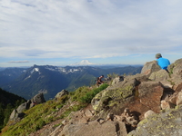 |
| Spike and Kage hiding from all the people and dogs, lest they get chewed |
 |
| Summit 360 |
 |
| The sunniest, clearest, most distant view of the day |
 |
| Colockum Wildlife Area, northwest entrance |
 |
| Overland day hike return route. We drove up that mountain road at the right on the Sunday drive in. |
 |
| Above South Fork Tarpiscan Creek |
 |
| Day hike which required bushwhacking; we passed over the bump at right |
 |
| Cape Horn |
 |
| Evening hike above second overnight campsite, looking down the Tekison Creek valley |
 |
| First campsite, overlooking Horse Canyon |
 |
| North view, Revolution Peak at right |
 |
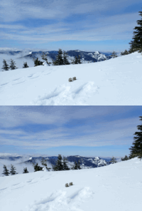
| (3dlr) Spike and Kage |
 |
| (3dwiggle) Spike and Kage |
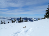 |
| Spike and Kage |
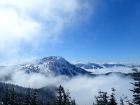 |
| Mount Rainier |
 |
| Little Si summit |
 |
| Upper Teneriffe road |
 |
| Dixie-Teneriffe saddle |
 |
| Upper Teneriffe road |
Return to the home of Spike and Kage
Find similar pictures in the comment cross reference
Copyright 2016--2037, Brian Blackmore.