 |
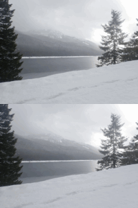
| (3dwiggle) Kachess Lake |
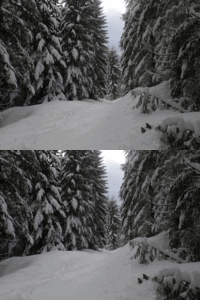 |
| (3dwiggle) Spike and Kage glimpse Amabilis Ridge |
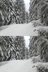 |
| (3dwiggle) Spike and Kage glimpse Amabilis Ridge |
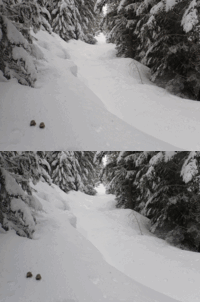 |
| (3dwiggle) Spike and Kage said it was time to turn around |
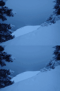 |
| (3dwiggle) Kachess Lake is down the dropoff |
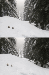 |
| (3dwiggle) Spike and Kage get a short break |
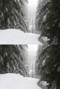 |
| (3dwiggle) Gale creek lower overlook |
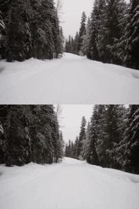 |
| (3dwiggle) Morning road |
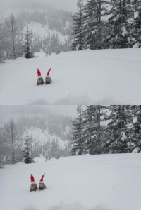 |
| (3dwiggle) Spike and Kage make a brief appearance in the snow |
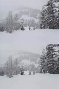 |
| (3dwiggle) Eastern ridge snowstorm |
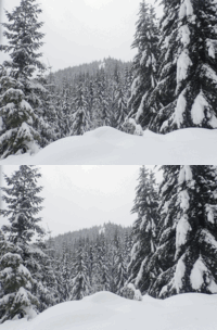 |
| (3dwiggle) The destination appears, East Keechelus |
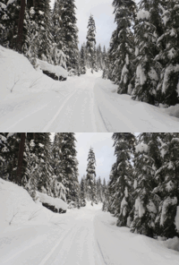 |
| (3dwiggle) Lonely old snowy road |
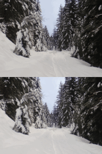 |
| (3dwiggle) The monolith appears |
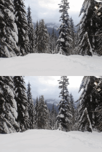 |
| (3dwiggle) Across the Kachess valley in the morning |
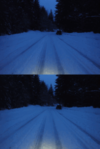 |
| (3dwiggle) Unplowed morning road |
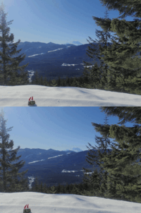 |
| (3dwiggle) Spike and Kage get some sun in the snow |
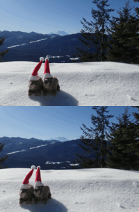 |
| (3dwiggle) Spike and Kage get some sun in the snow |
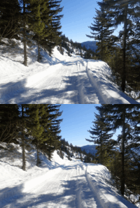 |
| (3dwiggle) Returned on the central road |
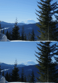 |
| (3dwiggle) Central road upper view of Rainier |
 |
| (3dwiggle) Microwave Hill |
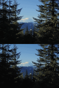 |
| (3dwiggle) Rainier from Microwave |
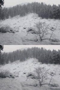 |
| (3dwiggle) Another small boulder field |
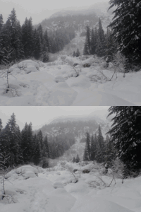 |
| (3dwiggle) Smaller boulder field, toward Rampart Ridge |
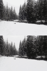 |
| (3dwiggle) Snowing at Gold Creek (near the log crossing) |
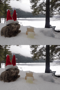 |
| (3dwiggle) Spike and Kage have a "picnic" |
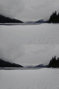 |
| (3dwiggle) Shores of Kachess Lake |
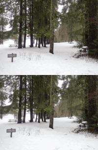 |
| (3dwiggle) Perfect time for a picnic! |
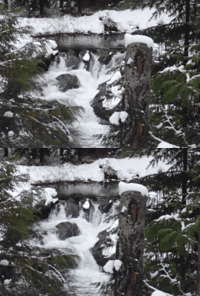 |
| (3dwiggle) Waterfall spot |
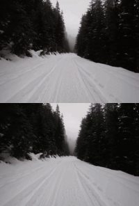 |
| (3dwiggle) Morning road |
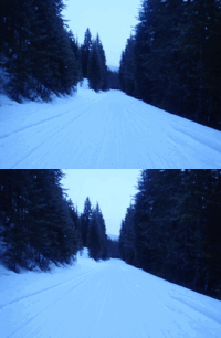 |
| (3dwiggle) Morning road |
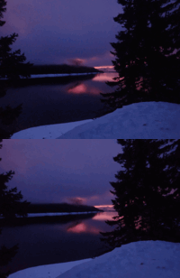 |
| (3dwiggle) Kachess near sunrise |
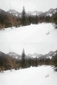 |
| (3dwiggle) Spike and Kage and snow |
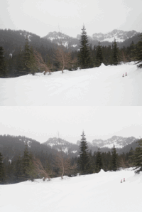 |
| (3dwiggle) Spike and Kage enjoy the snowy views |
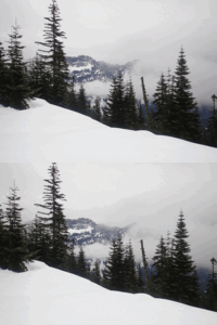 |
| (3dwiggle) Alta/Rampart range |
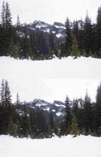 |
| (3dwiggle) Kendall Peak |
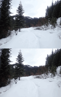 |
| (3dwiggle) Kendall Peak range |
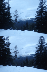 |
| (3dwiggle) Alpental in the morning |
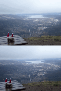 |
| (3dwiggle) Spike and Kage wanted a drink, but I brought none |
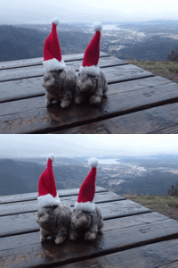 |
| (3dwiggle) Spike and Kage want to hide from the forthcoming rain |
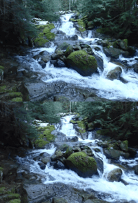 |
| (3dwiggle) Humpback Creek lower waterfalls |
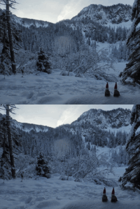 |
| (3dwiggle) Spike and Kage at Annette |
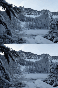 |
| (3dwiggle) Annette Lake, Abiel Peak |
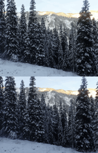 |
| (3dwiggle) Humpback mountain south ridge |
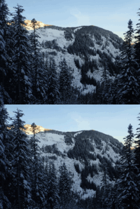 |
| (3dwiggle) Humpback Mountain |
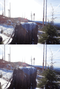 |
| (3dwiggle) Spike and Kage enjoy the sun near the road |
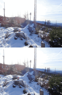 |
| (3dwiggle) Spike and Kage enjoy the sun at the turkey spot |
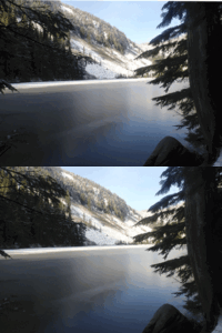 |
| (3dwiggle) Talapus |
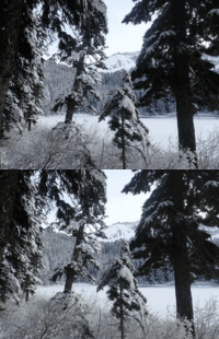 |
| (3dwiggle) Ridge toward Tusk of Granite |
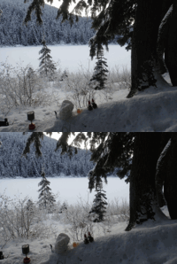 |
| (3dwiggle) Turkey Day, cooking stuffing and turkey with Spike and Kage |
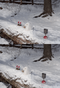 |
| (3dwiggle) Turkey Day, cooking stuffing and turkey with Spike and Kage |
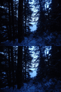 |
| (3dwiggle) Talapus around sunrise |
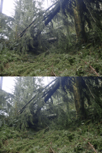 |
| (3dwiggle) Large blowdown on the trail |
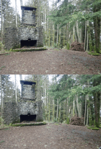 |
| (3dwiggle) Bullitt Fireplace |
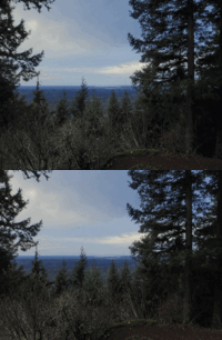 |
| (3dwiggle) Debbie's View |
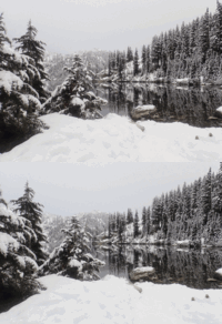 |
| (3dwiggle) Snow Lake southern shore |
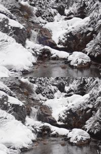 |
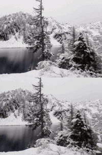
| (3dwiggle) Upper/Avalanche lake stream outflow waterfall |
 |
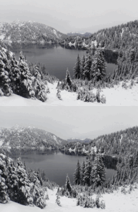
| (3dwiggle) Chair Peak |
 |
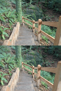
| (3dwiggle) Snow Lake |
 |
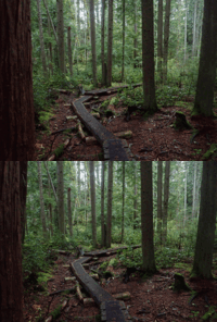
| (3dwiggle) Doughty Falls |
 |
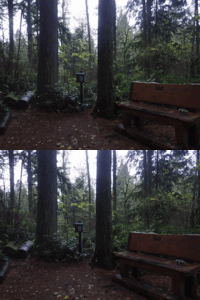
| (3dwiggle) To some it's a henotic stroll; to others it's a boredwalk |
 |
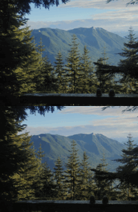
| (3dwiggle) "Summit" |
 |
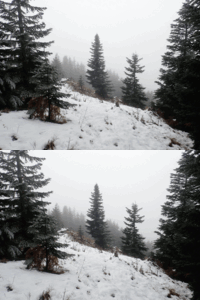
| (3dwiggle) Spike and Kage in the shadows of East Peak |
 |
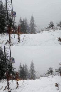
| (3dwiggle) Mt Wa summit view of Rainier, not today haha |
 |
| (3dwiggle) Mt Wa summit view of North Bend, not today haha |
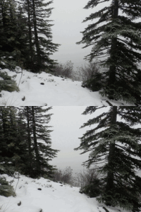 |
| (3dwiggle) Change Peak summit |
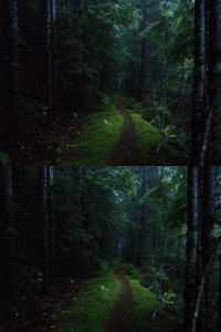 |
| (3dwiggle) The lonely trail |
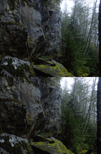 |
| (3dwiggle) Tis actually a rocky mountain |
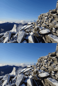 |
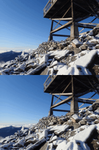
| (3dwiggle) Mt Rainier was out briefly |
 |
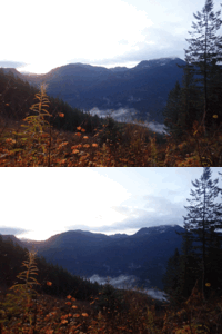
| (3dwiggle) Granite summit |
 |
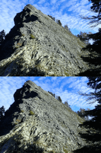
| (3dwiggle) First view from ridge |
 |
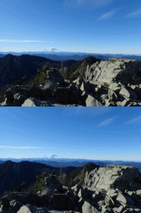
| (3dwiggle) McClellan human cheese grater |
 |
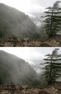
| (3dwiggle) Spike and Kage grace the summit of McClellan |
 |
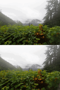
| (3dwiggle) Dirty Harrys balcony |
 |
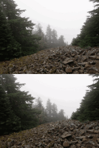
| (3dwiggle) McClellan still getting rain |
 |
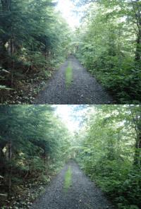
| (3dwiggle) Dirty Harrys summit west |
 |
| (3dwiggle) Most of it is this upper road |
 |
| (3dwiggle) Spike and Kage |
 |
| (3dwiggle) Truck |
 |
| (3dwiggle) Hall ridge |
 |
| (3dwiggle) Spike and Kage in the feug |
Return to the home of Spike and Kage
Find similar pictures in the comment cross reference
Copyright 2016--2037, Brian Blackmore.